
The Geometry of Sight
How satellites are redefining not just how we see the Earth, but how we understand, protect, and govern it from above.
There is a moment, just after signal acquisition, when the abstraction of space resolves into something tangible. Data becomes image. Coordinates become terrain. What was once theoretical returns as confirmation: a system modeled, tested, and launched into uncertainty, now seen in the Earth held from above, in a frame. It is not the image itself that matters most, but what it allows us to see before it disappears.
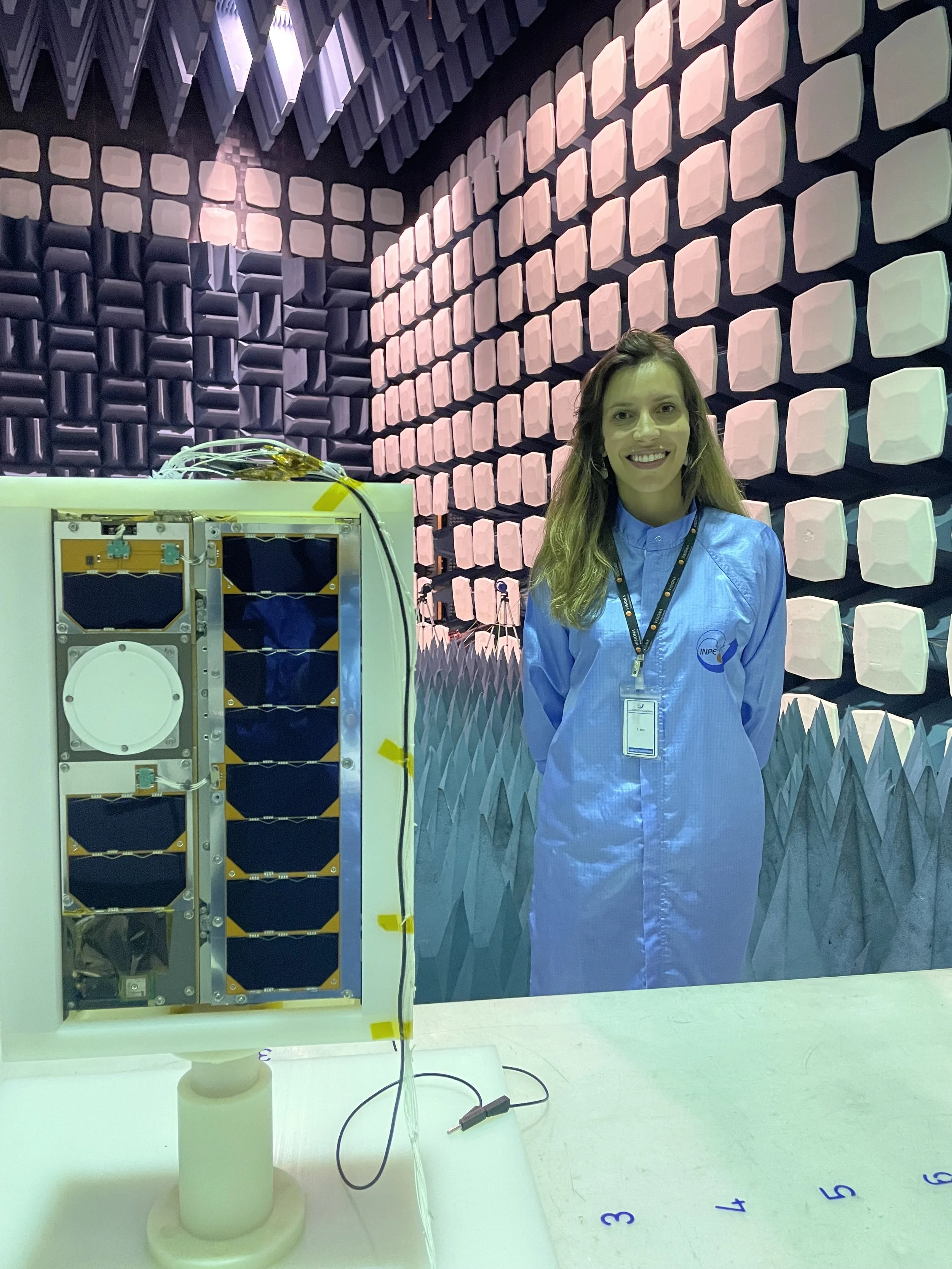
For Mariana Barbosa, that moment is not defined by drama, but by clarity. The image does not astonish so much as it affirms. It means the system is stable. The orientation is correct. The camera has held its line. The satellite, moving at orbital velocity, has done exactly what it was designed to do. As she recalls, “When the first telemetry came, it was like a relief… a sense of mission accomplished. We were very honored, very proud of the work.”
What that image reveals, however, is not abstract. In Brazil, where the Amazon stretches beyond the reach of any single authority, the challenge is not seeing beauty. It is seeing damage in time to respond. Illegal mining, deforestation, unregulated expansion, and environmental degradation occur at a scale that cannot be tracked from the ground. The work of Visiona exists within that reality: satellites not simply as instruments of observation, but as tools of intervention—capable of identifying change, detecting intrusion, and, in some cases, enabling action before it becomes irreversible.
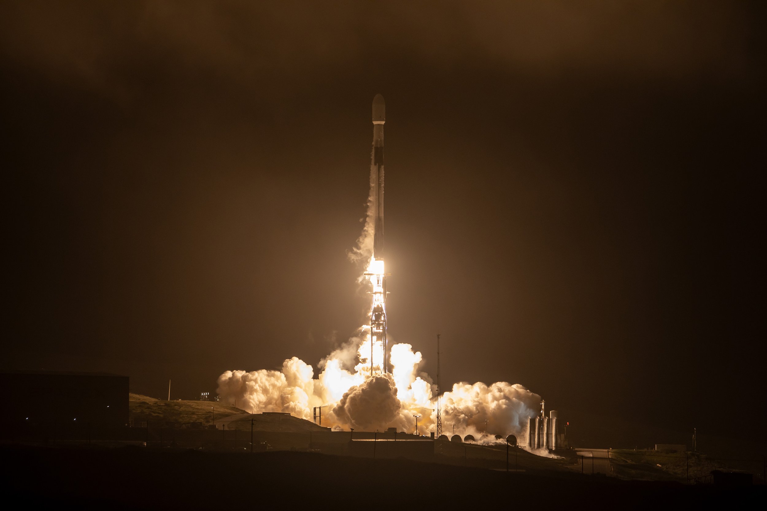
A purpose rooted in it.Falcon 9 launch · © SpaceX
The Purpose of Seeing
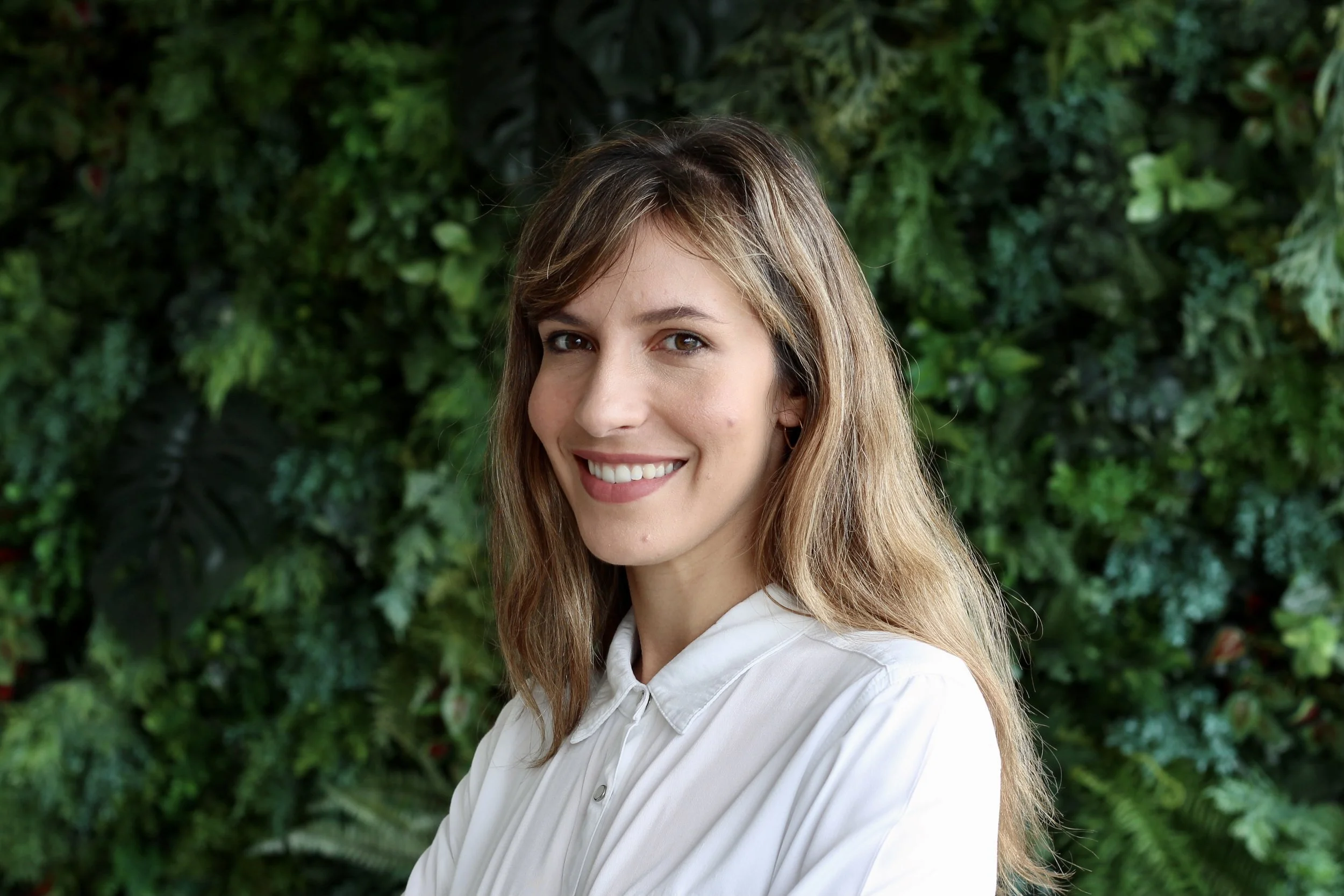
Barbosa is a Brazilian engineer and a central figure within Visiona Tecnologia Espacial, the space division of Embraer. Since joining the company in 2014, she has worked across multiple domains, including mission planning, systems engineering, and attitude and orbit control, contributing to the development of Brazil’s first fully domestically integrated satellite system. The milestone marked more than technical achievement. It represented a shift in capability—a nation beginning, however incrementally, to see itself on its own terms.
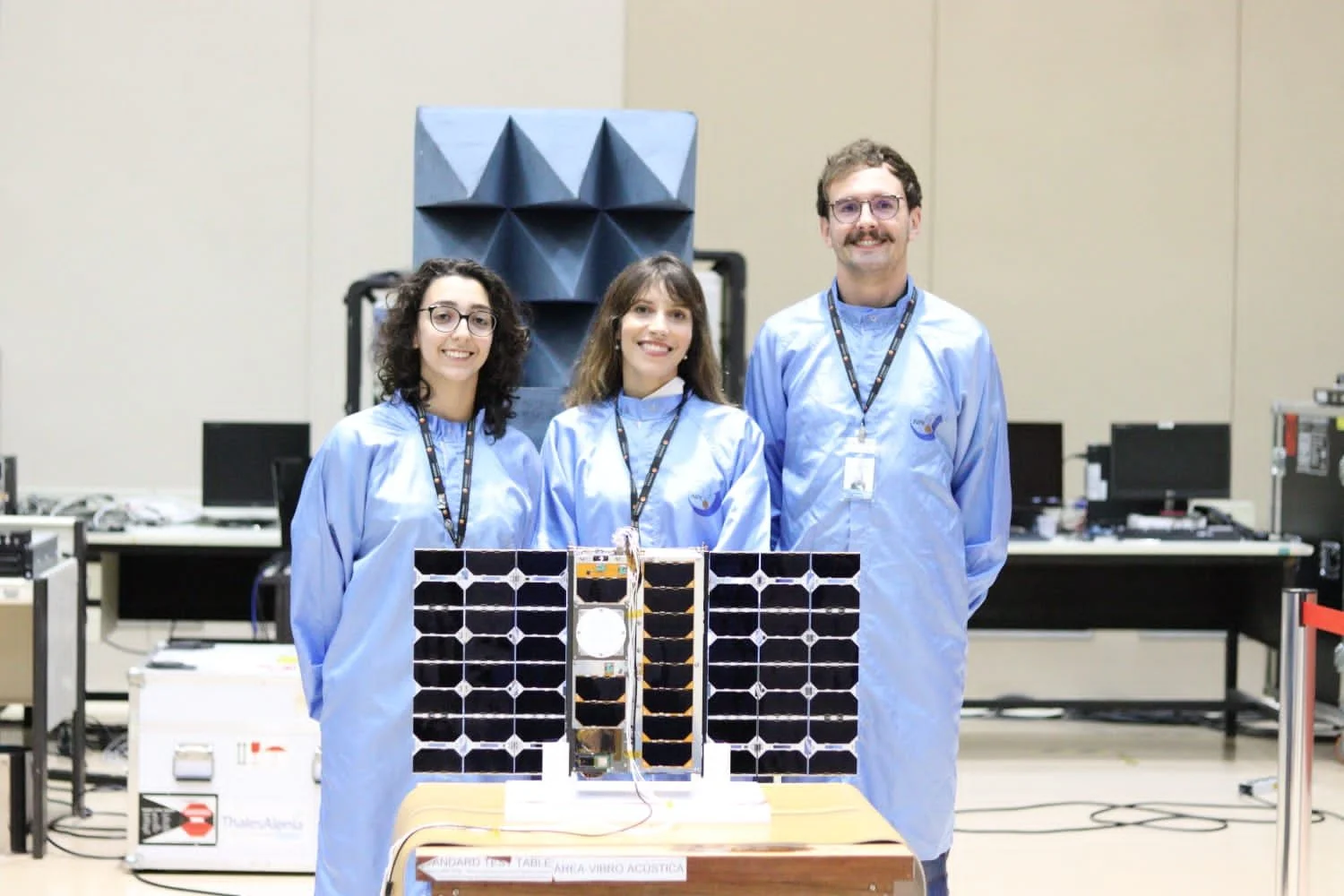
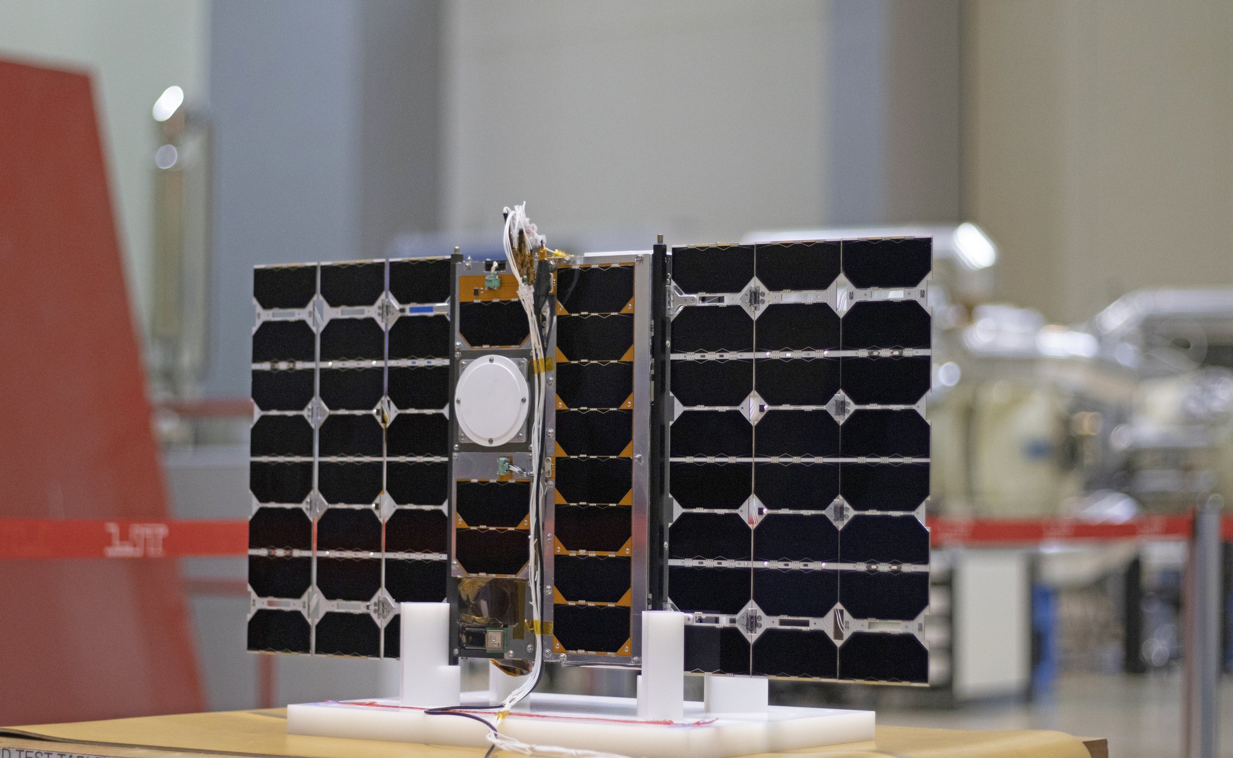
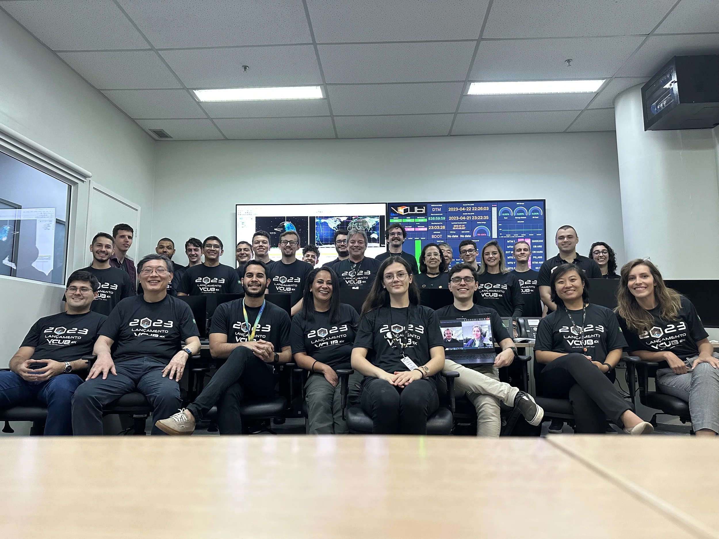
Visiona operates with a small team, roughly thirty engineers, yet the scope of its ambition is disproportionate to its size. The company’s work centers on the integration of satellite systems designed for remote sensing and communication, with a particular emphasis on environmental monitoring and territorial awareness. In 2023, the successful deployment and validation of its CubeSat platform confirmed the viability of technologies developed entirely within the Brazilian industry. The next phase, larger, more complex, and more demanding, aims to expand that capability.
The function of these satellites is precise. Their consequences are not. Through remote sensing, Visiona’s systems monitor environmental change across vast and often inaccessible regions, including the Amazon. Their purpose is not passive observation. It is the detection of change as it occurs—processes that are continuous and often invisible at ground level, unfolding across immense geographies beyond immediate visibility.
In urban environments, the application becomes more immediate. Satellite imagery is used to identify unapproved construction in protected areas, flagging changes as they occur rather than after the fact. By comparing sequential images, the system can detect the emergence of roads, buildings, or infrastructure where none previously existed. The result is not simply documentation, but early warning, an opportunity to intervene before the transformation becomes permanent. In a country the size of Brazil, this is not a technological luxury. It is a necessity.
A Nation at Scale
Brazil presents a particular challenge: scale. Its forests, agricultural regions, coastlines, and expanding cities cannot be meaningfully monitored through traditional means alone. Ground-based observation is inherently limited, fragmented, delayed, and often reactive. To manage territory at this magnitude requires distance. It requires perspective. As Barbosa notes, “It’s very important for a country like Brazil to have awareness of its own land and waters”—not more data, but better distance.
Satellites provide that perspective. They allow a nation to see itself fully, continuously, and without reliance on external systems. In this sense, Visiona’s work is not only technical. It is infrastructural, representing an effort to establish sovereignty not just over land, but over information.
Reorientation
Barbosa’s path into this work was not predetermined. Her early academic interests were rooted in mathematics, physics, and a broader fascination with the unknown. At the time, Brazil did not offer formal pathways into aerospace or space engineering, and she pursued a degree in control and automation engineering, a hybrid discipline combining elements of electrical, electronic, and computer engineering. The training proved foundational, instilling a way of thinking defined by decomposition: breaking complex systems into interacting parts, understanding interfaces, and modeling behavior through structure.
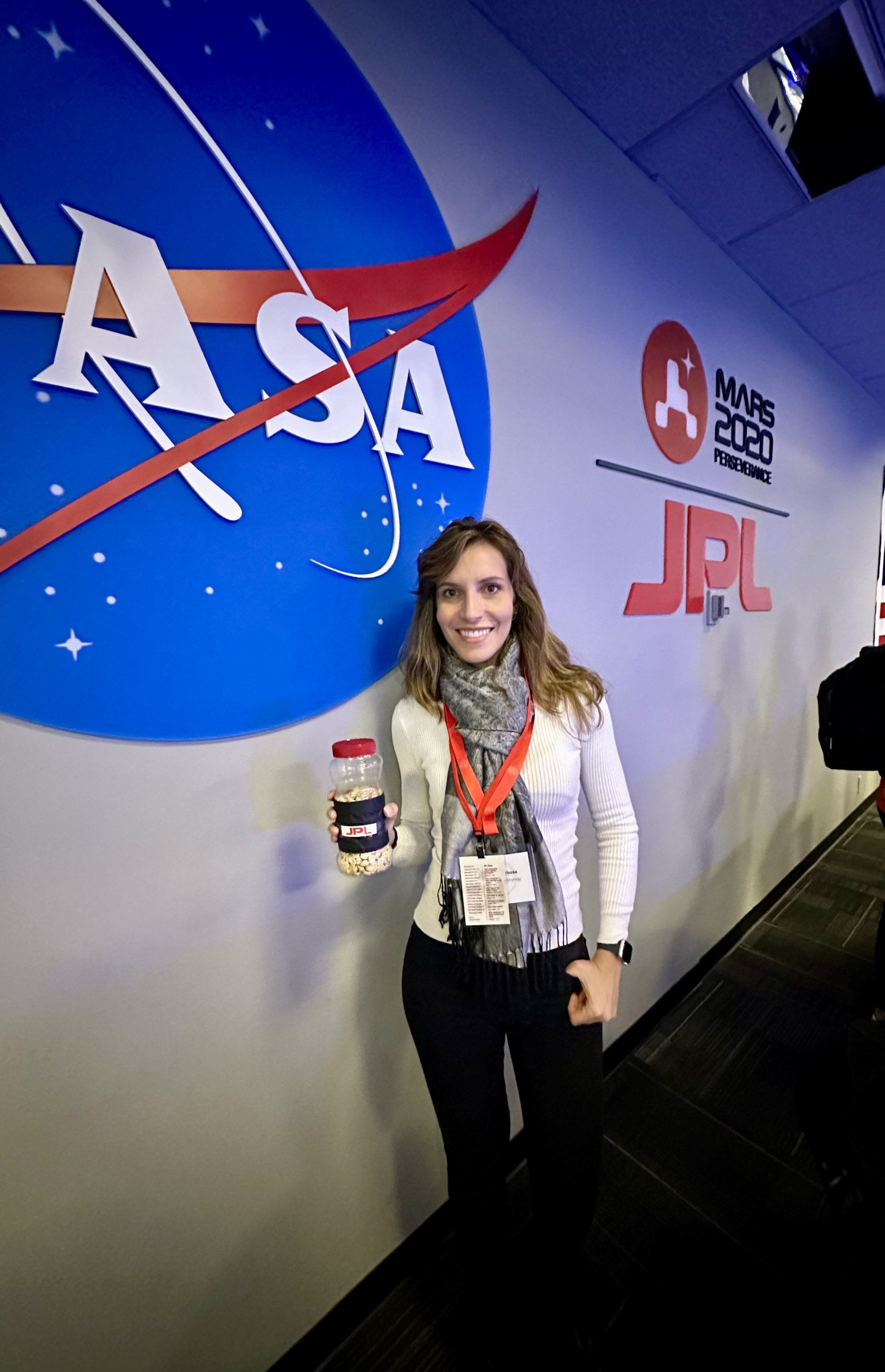
Her early career, however, took her into industries far removed from space. She worked in oil, gas, and mining, fields that were technically demanding but did not align with what she understood as a meaningful contribution to society or the environment. As she explains, “It was not what I hoped to contribute to society, the environment, the planet or my country.” The decision to leave was not immediate, but it was decisive. She pursued a master’s degree in space studies in Europe, studying across Germany, Sweden, and the Czech Republic, and completing part of her research in the United States.
When she returned to Brazil, the path forward was uncertain. The infrastructure she had trained for did not meaningfully exist; for a time, there was effectively no place to apply her work in space. The experience was both technical and transformative. Living abroad had exposed her to different systems, cultures, and ways of thinking. It expanded not only her professional capabilities, but her sense of scale—of how differently the world could be organized, understood, and experienced. As she reflects, “I think traveling… opens your mind and your mind never comes back to the size that it was before.”
For a period, she worked in radar systems and signal processing, gaining experience that would later prove directly applicable—so that when an opportunity at Visiona emerged, it was not simply a job, but an entry point into building something that had not previously existed. She joined the effort to develop Brazil’s first domestically produced Attitude and Orbit Control System (AOCS), a subsystem responsible for determining and controlling a satellite’s orientation in space. It is among the most critical components of any mission. Without it, the satellite cannot stabilize, cannot point accurately, and cannot function. It is also inherently integrative, requiring an understanding of the mission as a whole, as each adjustment in orientation reflects the interaction of multiple subsystems operating simultaneously. The successful validation of that system in orbit closed a loop that had begun years earlier, translating theory into operation.
There are moments within such work that resist abstraction—moments that are difficult to reduce to explanation alone. The first telemetry received from orbit. The first image transmitted back to Earth. These are not symbolic milestones, but confirmations that everything, every calculation, every test, every assumption, has held under conditions that cannot be directly observed or corrected. The first image Barbosa saw was of mountainous terrain in China. What mattered initially was not the subject, but the integrity of the image itself. Was it stable? Was it focused? Had the system compensated correctly for motion? Only after those questions were answered did the image become something else, something recognizable, even beautiful.
Beyond the launch.
Transporter-7 Mission · Liftoff. The moment engineering becomes flight.
Footage © SpaceX · Replace the preview frame with your responsive Wistia embed when available.
Systems in Orbit
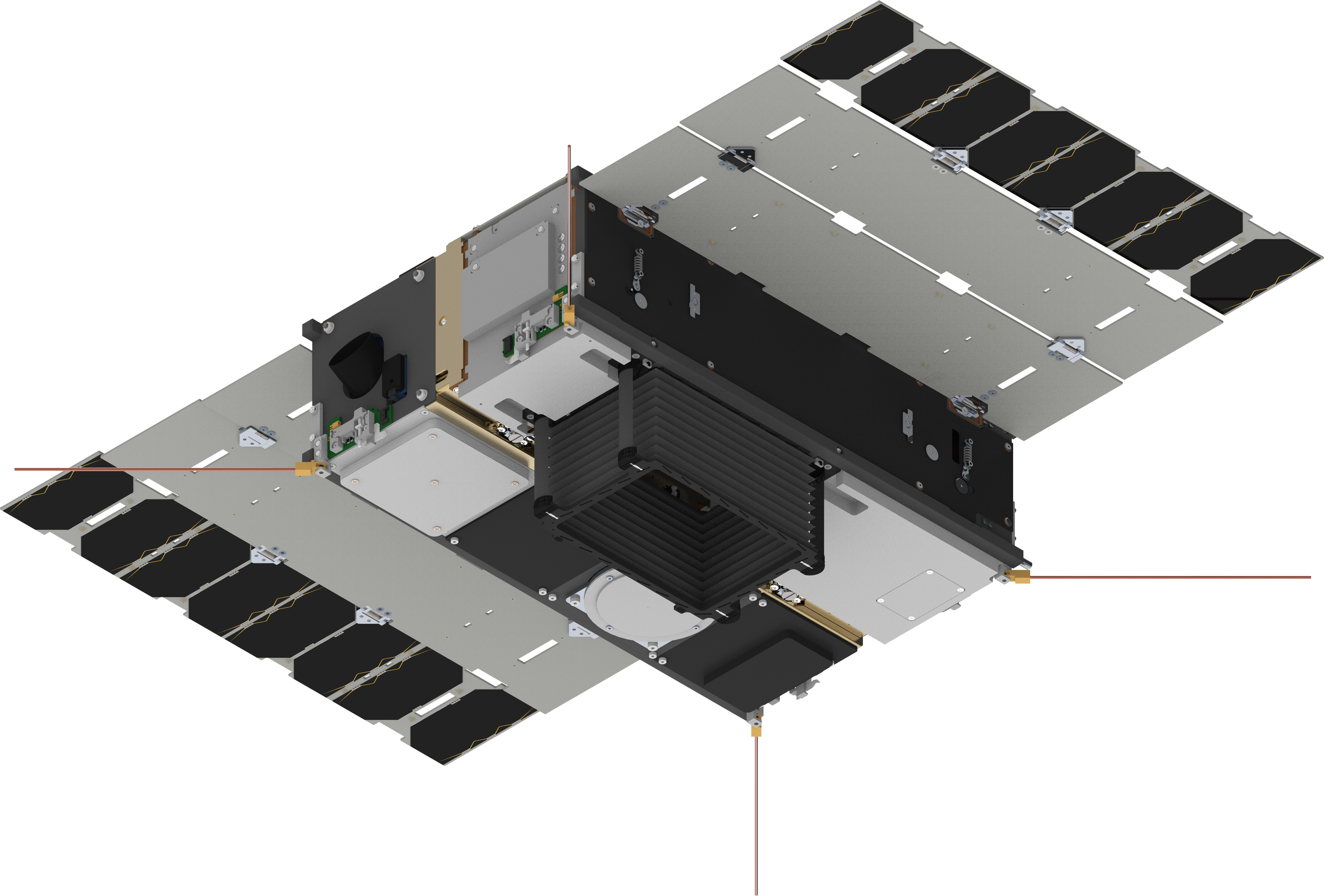
In orbit, there is no fixed reference, no up or down, no inherent sense of direction. The satellites themselves operate through a complex integration of sensors and systems. GPS provides position and velocity. Magnetometers measure the Earth’s magnetic field. Sun sensors determine orientation relative to the sun. Star trackers, among the most precise instruments, capture images of the sky and compare them to onboard databases, allowing the satellite to determine its orientation by recognizing patterns of stars. Together, these inputs are fused into a single estimate of position and orientation, enabling stability and control in an environment where there is no fixed reference point. The process is not unlike interpretation itself: no single signal is sufficient, and meaning emerges only through the integration of multiple, imperfect sources into something closer to a coherent whole.
The imaging process is equally complex. Rather than capturing a single moment, the satellite scans the Earth using lines of pixels in a process known as time-delay integration, compensating continuously for its motion relative to the surface below. Stability is not optional. It is essential. Any disturbance, however small, can distort the image. The result is a system in which physics, mathematics, and engineering converge to produce something that appears, at first glance, deceptively simple: a photograph. Yet what that photograph contains often extends beyond what the eye can immediately perceive.
Reading the Earth
Certain spectral bands, including those outside the visible range, enable the calculation of vegetation indices, metrics that reveal the health and density of plant life. In regions like the Amazon, these measurements become critical. They allow for the detection of subtle changes in vegetation, indicating deforestation, degradation, or recovery. The image is no longer just visual. It becomes analytical.
The data, however, is not inherently self-explanatory. It must be processed, calibrated, geo-referenced. Patterns must be identified. Meaning must be extracted. Only then does it become actionable, a representation of change that can inform decisions, policies, and interventions.
Despite these capabilities, the broader context remains uncertain. Brazil’s space sector remains constrained by structural limitations. Funding remains inconsistent, and space is not yet treated as a strategic infrastructure. For a country of Brazil’s scale and resources, the gap between potential and capability remains pronounced. Barbosa is direct about the constraint: “We don’t have much funding in space.” The result is a persistent gap between capability and continuity. Visiona operates within that gap. It has demonstrated what is possible. What remains unclear is how consistently that possibility will be supported.
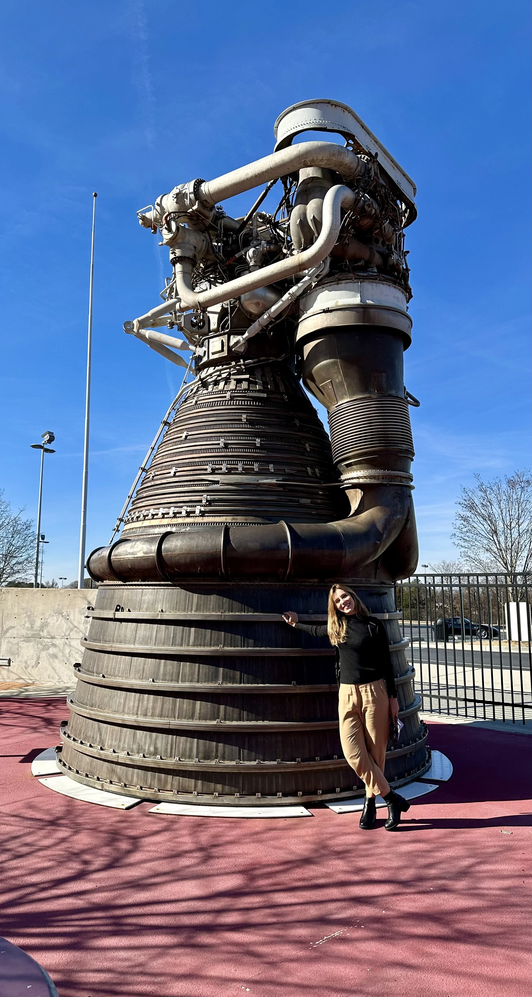
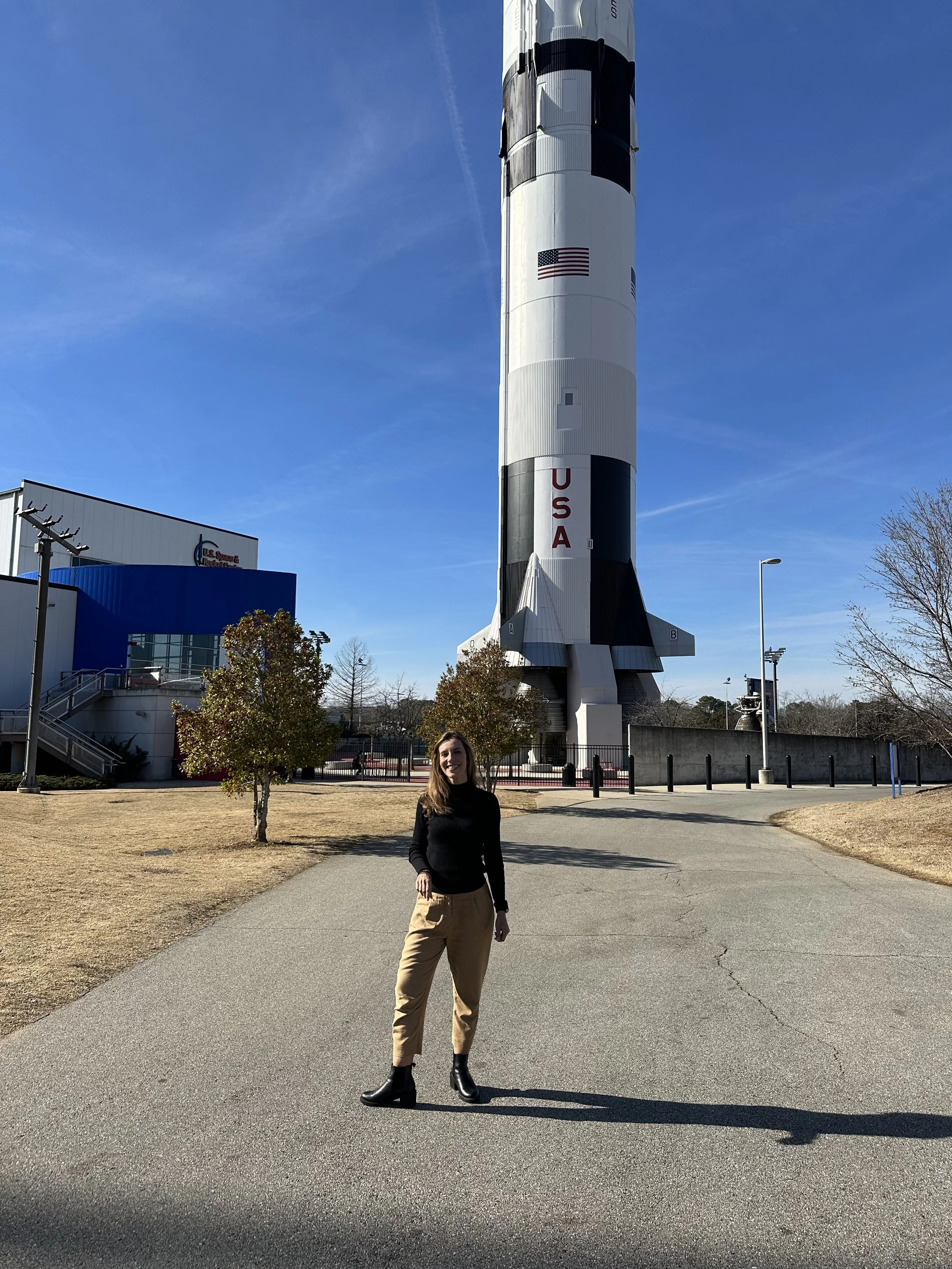
From the precision of a satellite to the scale of the machinery that carried humanity into space.
From Orbit
From orbit, the Earth presents itself without borders. The divisions that define nations disappear, often to the point of disorientation, as landscapes unfold without clear markers of where one place ends and another begins. Forest transitions into farmland, farmland into city, city into coastline, without regard for political boundaries. What is visible are patterns, of development, of extraction, of preservation. For the engineers working with these images, there is an unexpected dimension to the process. In testing the satellite, they would select locations across the globe—mountains, deserts, lakes, cities—often based on lighting conditions or weather patterns. The result was a form of travel without movement, a familiarity with places never physically visited, a recognition of landscapes encountered only through data.
The experience reinforces a particular perspective. The planet cannot be effectively managed from the ground alone. “The Earth is too big for us,” Barbosa says. It must be observed from a distance, through systems capable of integrating scale and detail simultaneously—tools that enable a higher perspective and a more complete understanding of what is unfolding across it.
To look up at the night sky is to confront both scale and limitation. The vastness of the universe underscores the smallness of the Earth, while simultaneously revealing its singularity. As far as we know, it remains the only place where life exists in the form we experience it.
The satellites that orbit above do not alter that reality. They do not change the planet itself. They change how it can be seen, how patterns emerge, how change is detected, how systems become legible.
In that shift, from partial vision to something approaching comprehension, lies the responsibility to act, before the limits of that understanding—and of the systems that sustain it—are reached.